Neely Slave Cemetery
(ca. late 1700s)
The enslaved individuals buried in this cemetery represent more than 100 years of enslaved labor used on the associated lands by the Thomas Neely family.
South Ridge Drive, Charlotte, NC 28273
The Neely Slave Cemetery is one of Mecklenburg County’s few known cemeteries for enslaved persons. Located within the South Point Business Park off of South Ridge Road, the cemetery was once part of the Neely Plantation in the county’s southwestern Steele Creek community. Although the vast majority of the county’s farmers operated small farms and did not own or use enslaved persons, farmers such as Thomas Neely and his descendants (including John Neely I, Thomas Neely, John Neely II, and John Starr Neely) expanded their agricultural operations through the exploitation of involuntary labor facilitated by the institution of slavery.
Property Quick Links
Mecklenburg County eventually accumulated some thirty plantations, each the property of a slaveowner who possessed at least twenty-five enslaved persons. But dozens of smaller farms across the county also used enslaved labor. The Neely family, beginning with Thomas Neely's arrival in Mecklenburg County in 1754, belonged to that class of smaller slaveowners. When he died in 1795, Neely owned at least five hundred acres in the Steele Creek community and approximately seven enslaved persons. His will included several unique instructions to his heirs for the benefit of his enslaved laborers, including requests that some be taught to read or given spare time to profit from their own labor. The will also expressly prohibited his heirs from selling any of his enslaved persons “under penalty of losing their inheritance.” The following generations of Neelys increased their slaveholdings and continued to farm the family land. The last Neely to own enslaved persons was John Starr Neely (1817-1887). Records indicate that as of 1864, he may have owned as many as twenty-four enslaved persons, using them to grow cotton, Indian corn, oats, and wheat on some 170 acres of his 230-acre farm.
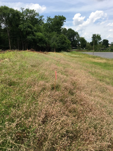
The cemetery was originally situated on a small plot in a wooded area behind one of the Neely’s large oat fields. The deceased were interred east to west, with their heads directed to the west. Some of the graves are marked with simple fieldstones. The remaining unmarked graves may have once had similar stones that perhaps fell or sunk over time into the ground below the covering of periwinkle. Forty-two graves have been identified, although there is a strong possibility of more, given that the land was passed down through the family and worked by enslaved labor for more than one hundred years. Further research may help identify the individuals interred in this cemetery.

